Nebraska Airborne Electromagnetics
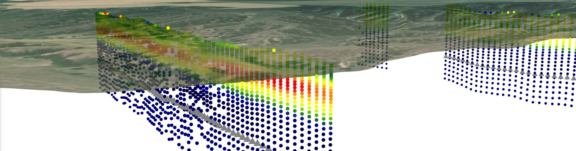
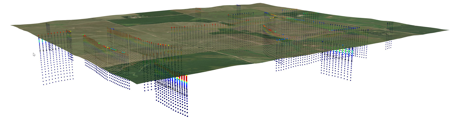
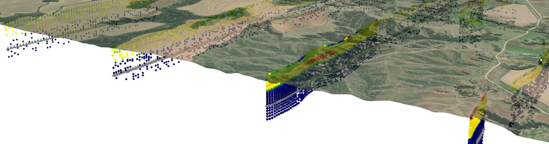
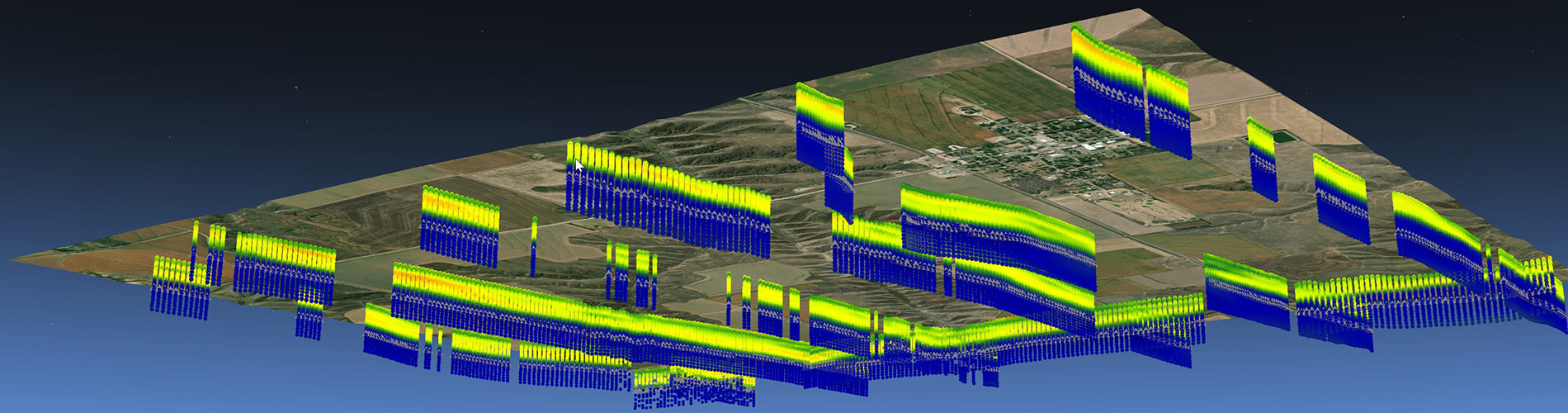
This website is your source for Nebraska geophysics data. Here you can download airborne electromagnetic (AEM) data, access interactive mapping applications, review guidelines for modelers, and learn from video tutorials.
GeoCloud
GeoCloud is an external website for interactive mapping, custom profiles, and data access for AEM, CSD test holes, wells, and related geological models of Nebraska. Access is free, but a user account is required.
Learn
Learn about AEM and our 3D applications in these short videos.
This video briefly explains the airborne electromagnetic (AEM) method. It also explains how the results of AEM surveys are displayed in the 3D Web App found on this website.
This video explains how AEM is used to map aquifers. It starts with a historical review of test-hole drilling, describes the shortcomings of traditional methods, and shows how AEM helps overcome these limitations by filling the gaps between test holes, resulting in 3-dimensional images of the subsurface.
Listen to an interview of Jared Abraham (AGF) and Jesse Korus (UNL) on Airborne Electromagnetic surveys, courtesy of Nebraska ON TAP.
Publications
CSD geologists conduct research on Nebraska geology using 3D models and AEM surveys.
| Kawo, N.S., Korus, J.T., Gulbrandsen, M.L. 2023. Multiple-point statistical modeling of three-dimensional glacial aquifer heterogeneity for improved groundwater management. Hydrogeology Journal https://- doi.org/10.1007/s10040-023-02658-x Online | Download |
| Tilahun, T.A., Korus, J.T., 2023. 3D hydrostratigraphic and hydraulic conductivity modeling using supervised machine learning. Applied Computing and Geosciences 19, 100122: https://doi.org/10.1016/j.acags.2023.100122. | Download |
| Korus, J.T., Joeckel, R.M., Abraham, J.A., Höyer, A.S., Jörgensen, F., 2021. Reconstruction of pre-Illinoian ice margins and glaciotectonic structures from Airborne ElectroMagnetic (AEM) surveys at the western limit of Laurentide glaciation, Midcontinent U.S.A. Quaternary Science Advances 4, 100026. https://doi.org/10.1016/j.qsa.2021.100026 | Download |
| Korus, J.T., 2018. Combining hydraulic head analysis with airborne electromagnetics to detect and map impermeable aquifer boundaries. Water 10(8): 975. https://doi.org/10.3390/w10080975 | Download |
| Korus, J.T., Joeckel, R.M., Divine, D.P., Abraham, J., 2017. 3-D architecture and hydrostratigraphy of cross-cutting buried valleys using airborne electromagnetics, glaciated Central Lowlands, Nebraska, U.S.A. Sedimentology 64: 553-581. https://doi.org/10.1111/sed.12314 | Download |
| Korus, J.T., Joeckel, R.M., Divine, D.P., 2013. Three-dimensional hydrostratigraphy of the Firth, Nebraska area: Results from Helicopter Electromagnetic (HEM) mapping in the Eastern Nebraska Water Resources Assessment (ENWRA). Geological Survey Bulletin 3 (new series), Conservation and Survey Division, School of Natural Resources, University of Nebraska-Lincoln, 100 p. | Download |
| Divine, D.P., Korus, J.T., 2013. Three-dimensional hydrostratigraphy of the Swedeburg, Nebraska area: Results from Helicopter Electromagnetic (HEM) mapping in the Eastern Nebraska Water Resources Assessment (ENWRA). Geological Survey Bulletin 5 (new series), Conservation and Survey Division, School of Natural Resources, University of Nebraska-Lincoln, 31 p. | Download |
| Hanson, P.R., Korus, J.T., Divine, D.P., 2012. Three-dimensional hydrostratigraphy of the Platte River Valley near Ashland, Nebraska: Results from Helicopter Electromagnetic (HEM) mapping in the Eastern Nebraska Water Resources Assessment (ENWRA). Geological Survey Bulletin 2 (new series), Conservation and Survey Division, School of Natural Resources, University of Nebraska-Lincoln, 51 p. | Download |
| Divine, D.P., Korus, J.T., 2012. Three-dimensional hydrostratigraphy of the Sprague, Nebraska area: Results from Helicopter Electromagnetic (HEM) mapping in the Eastern Nebraska Water Resources Assessment (ENWRA). Geological Survey Bulletin 4 (new series), Conservation and Survey Division, School of Natural Resources, University of Nebraska-Lincoln, 32 p. | Download |
For Modelers
Modelers wishing to contribute data or models to GeoCloud should review our guidelines for AEM surveys, data integration, and hydrostratigraphic modeling in Nebraska. They may also want to use tools for integrating 3D models into MODFLOW or other modeling programs.
Guidelines for Airborne Electromagnetic (AEM) Surveys, Data Integration, and Hydrostratigraphic Modeling in Nebraska
| Guidelines for Airborne Electromagnetic (AEM) Surveys, Data Integration, and Hydrostratigraphic Modeling in Nebraska | Download |
| Appendix A: Guidlines and Standards for SkyTEM Measurements, Processing and Inversion | Download |
| Appendix B: Guide for processing and inversion of SkyTEM data in the Aarhus Workbench | Download |
Standards for Data and Model Reporting in the Nebraska GeoCloud
| Standards for Data and Model Reporting in the Nebraska GeoCloud | Download |
| Project Document Template | Download |
| AEM Metadata Standards | Download |
| 2D-Grid Metadata Standards | Download |
| 3D-Grid Metadata Standards | Download |
| Boreholes Metadata Standards | Download |
| Point Data Metadata Standards | Download |
| Geophysical Logs Metadata Standards | Download |
| Shapefile Metadata Standards | Download |
Lithology Keyword Automation Tool (LithoKAT)
| LithoKAT version 1.0.0 | Download |
| Standardized Lithology Keywords | Download |
Contacts